Pushing the boundaries of hydrography research
What is ship-based hydrography?
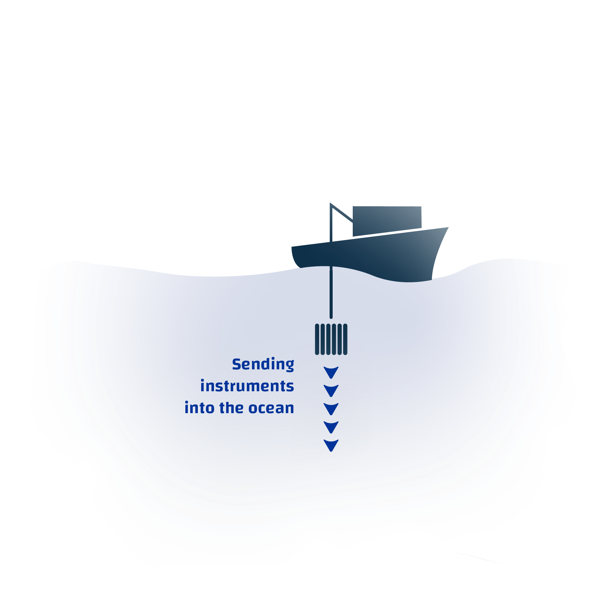
Ship-based hydrography encompasses a range of observational techniques that involve sending instruments into the ocean and collecting water samples at various depths to analyse ocean properties.
The quest for understanding what lies beneath the surface of the big blue ocean goes back centuries in time. Amongst the wealth of scientific disciplines that converge in this search for knowledge, there is one that focuses on unveiling the physical and chemical properties of seawater: hydrography. Ship-based hydrography includes a suite of observational techniques that involves sending instruments into the ocean and collecting water samples at various depths to analyse ocean properties. But, how is this useful? And to whom?
The Cornerstone Of
The Marine Knowledge Value Chain
Ship-based hydrography is the corner stone of the knowledge value chain that enables a better understanding of the marine environment, contributing to scientific excellence. It recovers the most accurate observations as well as the largest suite of observations through the full depth of the water column.
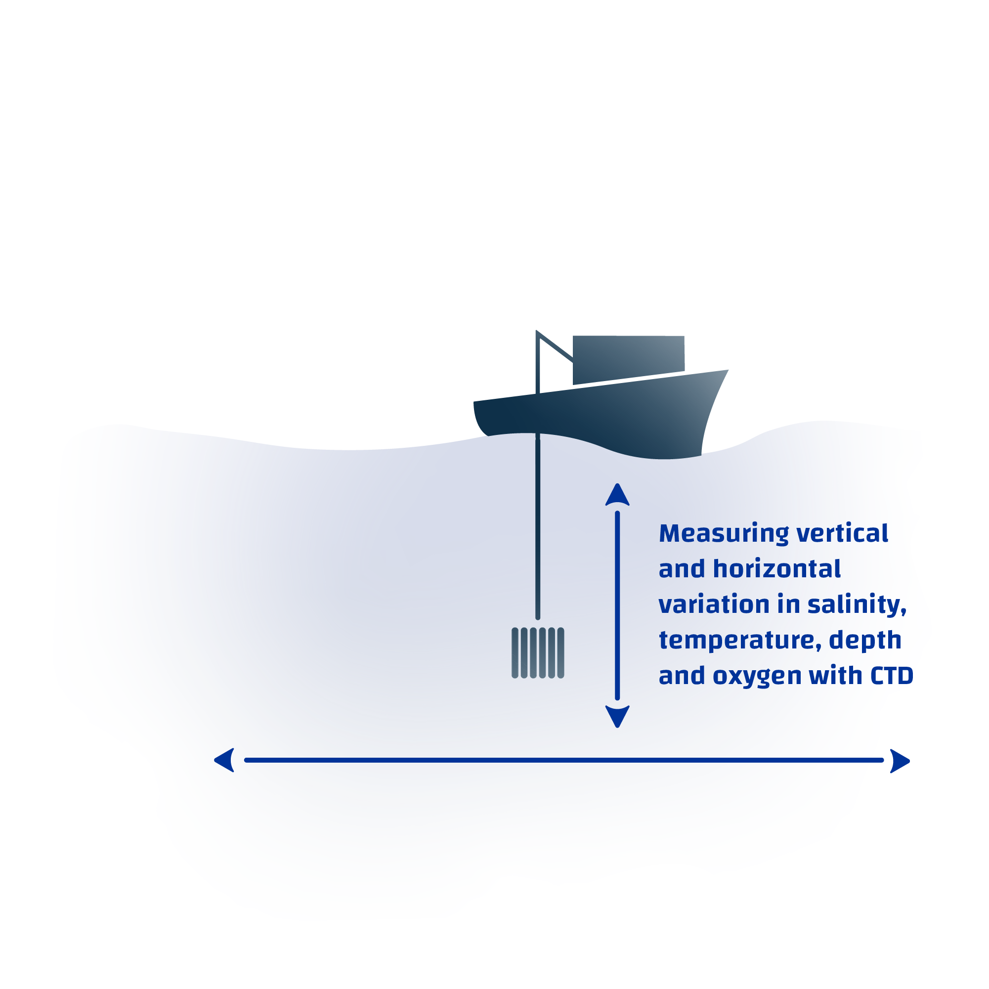
Hydrographers use a variety of tools to measure oceanographic parameters. The most studied ones are salinity, temperature, depth and oxygen. One of the common tools used in the field is called a “CTD”, which stands for Conductivity, Temperature, and Depth. This vital instrument is deployed on a transect during a cruise into the depths of the ocean to measure vertical variation in the water column. By sampling a transect at regular times, seasonal variations and changes can be determined. These apparently simple measurements are the backbone of oceanographic research, providing the very basic information required for building a better understanding of the marine environment. The study of ship-based hydrography includes taking both water samples and using the sensors on a CTD as mentioned earlier. It is the corner stone of the knowledge value chain that empowers scientific excellence, informing pathways towards making the most of the treasure trove of resources that the Ocean provides, while minimizing our impacts.

From Data To Policy
Ship-based hydrography observations contribute valuable scientific knowledge and high-quality information to assess global environmental challenges, feeding important science-to-policy processes.
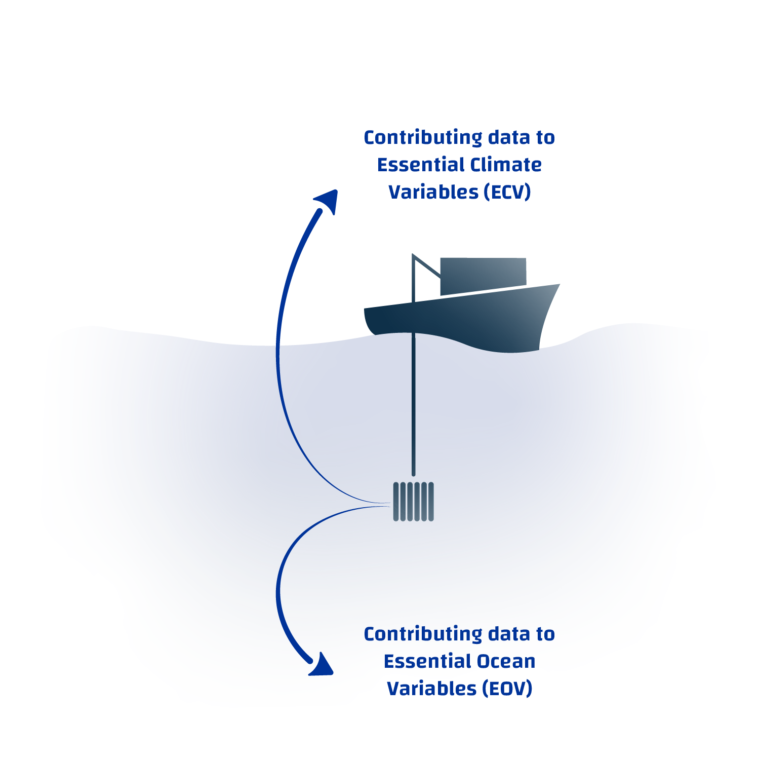
Essential ocean variables (EOV) and essential climate variables (ECV) defined by the Global Ocean Observing System (GOOS) and the Global Climate Observing System (GCOS), respectively, contain common data parameters measured during hydrographic cruises. Both groups of variables are crucial to deliver ocean forecasts and early warnings, as well as climate projections & assessments. They are key to understand how regional and global oceanic processes work, informing measures to mitigate the effects of ocean acidification and deoxygenation, optimizing the benefits we retrieve from marine activities.
Ship-based hydrographic observations contribute valuable scientific knowledge that is key to inform policies, such as the EU Marine Strategy Framework Directive (MSFD) and other related EU Green Deal strategies and policy objectives. They provide high-quality information to assess global environmental challenges, feeding important science to policy processes, such as the assessment reports of the UN International Panel on Climate Change (IPCC). In line with the vision of the UN Decade of Ocean Science for Sustainable Development, high quality hydrographic data will contribute to a better understanding on how our Ocean works. This is key to advance towards a more sustainable use of the marine realm, with a strong alliance between a healthy Ocean and the people.
In line with the vision of the UN Decade of Ocean Science for Sustainable Development, high quality hydrographic data will contribute to a better understanding on how our Ocean works.
European capabilities
and international cooperation
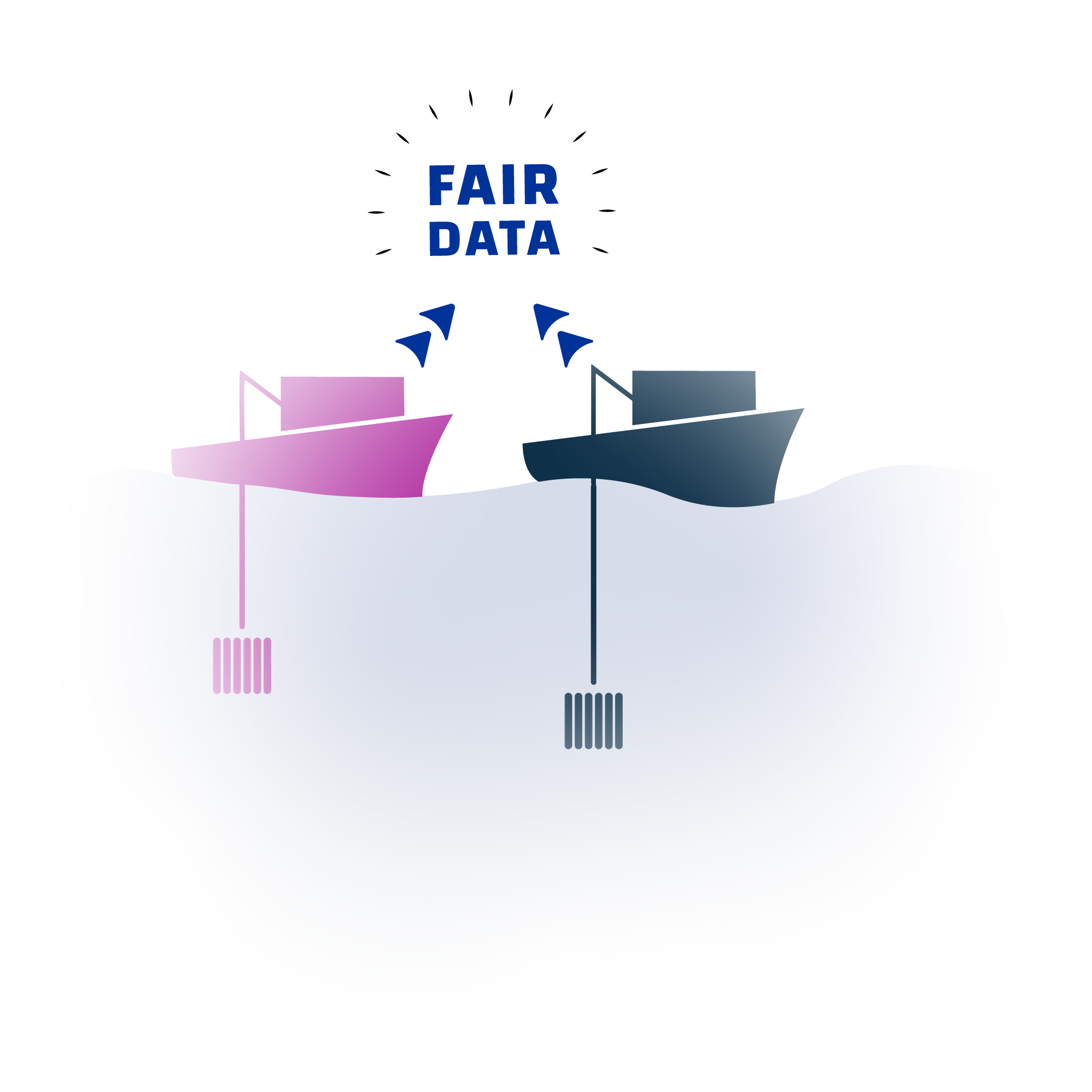
Improved international cooperation will improve the quality and quantity of ship-based hydrography information that can empower users, including policy makers.
Six European nations contribute to GO-SHIP international – the Global Ocean Ship-based Hydrographic Investigations Program (GO-SHIP), but many more European nations make hydrographic observations every day. An example of coordination of these activities is the International Council for the Exploration of the Seas (ICES). ICES has a Working Group on Oceanic Hydrography (WGOH) that supports assessment of marine systems in the Northeast Atlantic and Baltic, via a network of stations and sections (ship tracks) that is vastly larger than the GO-SHIP sections in the same area. Also, the Mediterranean Operational Network for the Global Ocean Observing System (MonGOOS) considers observing (including hydrography). There are also significant hydrographic observations in the Black Sea, however no formal multinational system to coordinate these.
For 30 years, GO-SHIP and its forerunners have conducted an ocean survey every 10 years, sampling the ocean from coast to coast at a depth of 4 kilometres on average across 55 reference sections. Un-met needs include a monitoring system, adequate supplies of certified reference materials (CRMs), and agreed data and metadata formats for some data streams and cross-border sharing of equipment. The network’s efficiency is hindered, and the quality and quantity of information we can give to end users are diminished because of these gaps. Even though ship-based hydrographic observations have been around for a long time, integration between groups and nations engaged in these activities is surprisingly poor when compared to integration between groups employing more recently developed autonomous methodologies for observing the ocean, such as autonomous floats.
Addressing opportunities for improved cooperation
Developing a cost-efficient European research infrastructure to collect consistent, high quality and controlled ship-based hydrographic data will trigger faster progress towards meeting the EU Green Deal & Mission “Restore our Oceans & Waters by 2030” objectives.
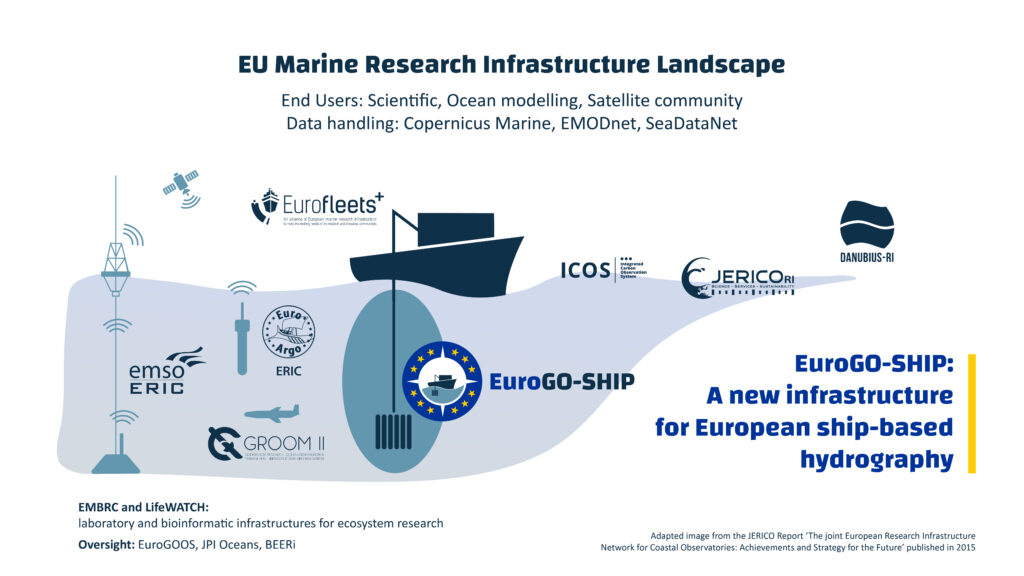
EuroGO-SHIP will address the challenges brought by insufficient international cooperation, improving this key field of research by creating pathways towards effectively sharing equipment, and optimizing related data infrastructure and products. Previous experiences towards a shared pool of research infrastructure (e.g., JERICO RI, Danubius RI) have demonstrated success in collecting oceanographic data on a global level. By grouping infrastructure, the single point of failure brought by isolated and difficult to use ship-based hydrographic data, as well as lost sampling opportunities will be avoided. In addition, as some equipment is too expensive to have in every country, it will benefit the community to use equipment across borders. A strong pool of experts will expand the pathway to have real-time data from the cruises towards the data infrastructure, making it easier for policy makers and funding agencies to investigate where further efforts are needed to push the boundaries of ship-based hydrographic research, in support of policy objectives.
DISCOVER THE ROADMAP OF EUROGO-SHIP